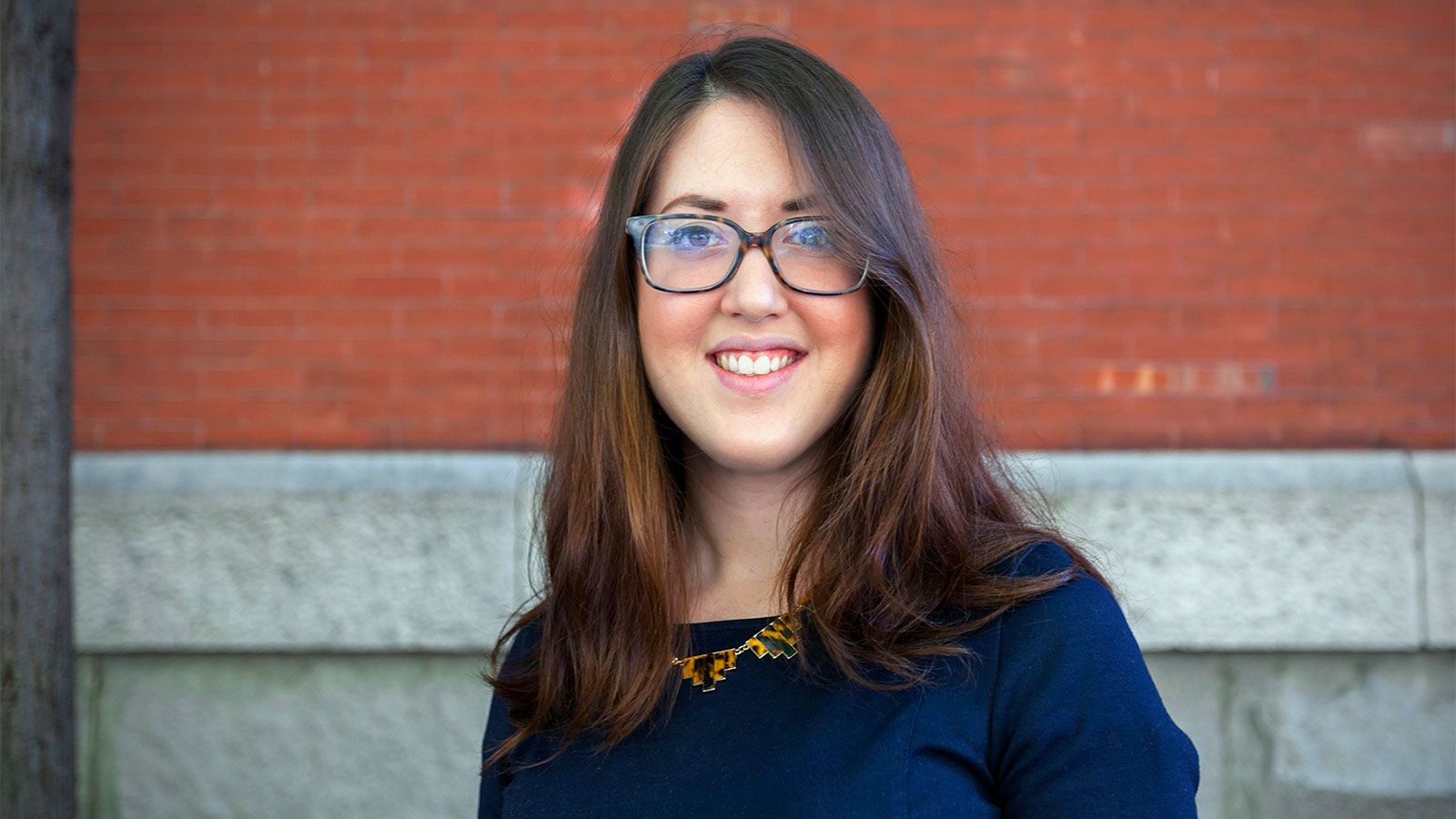
My Story
We’ve recently passed the tipping point. The world is more urban than rural now, and we need to investigate how urban vegetation is playing a role in the urban carbon cycle. While studying plant biology in undergrad, I took a software mapping class. Mapping software gets used in lots of things – urban planning, public health, the ecology world, and national organizations use it to keep track of national resources, forestry, and other things. It basically allows you to track a space by gathering tons of information and analyzing with equations and statistics. I was interested in bigger scale questions like what’s happening across a whole landscape or between two whole species ranges when they meet. What happens on the edge of two plant species if conditions were to shift and one species encroaches onto the next? It’s hard to figure out exactly what would happen over a whole landscape, just on paper or with a few lab experiments. You need a tool or methodology that helps you display that, and the mapping software was ideal for this type of analysis.

